Aqua Info is an easy-to-use method for you to interface with data collected by the Idaho Department of Water Resources. Not all data is made publicly available and all data are provisional and subject to change.
Click Begin Now to open the Data page and display a map with all publicly-available Measurement Sites associated with latitudes and longitudes.
To view a Measurement Site’s details and available data sets, click a point:
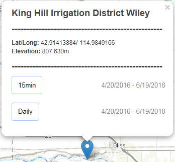
From the Measurement Site pop-up menu, click the dataset you want to query. The form fields below the map automatically display the query selections.

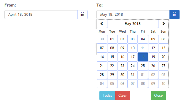
To adjust the date range for the data set, type a date in both the From and To text boxes. Alternatively, click the Calendar icon for each text box to select the dates.
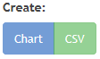
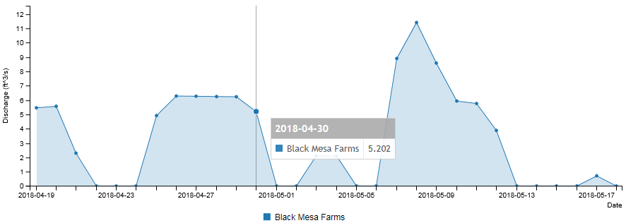
Click Chart to generate a visual representation of the data set.
To generate a CSV file of the data set, click CSV.